Content Warning

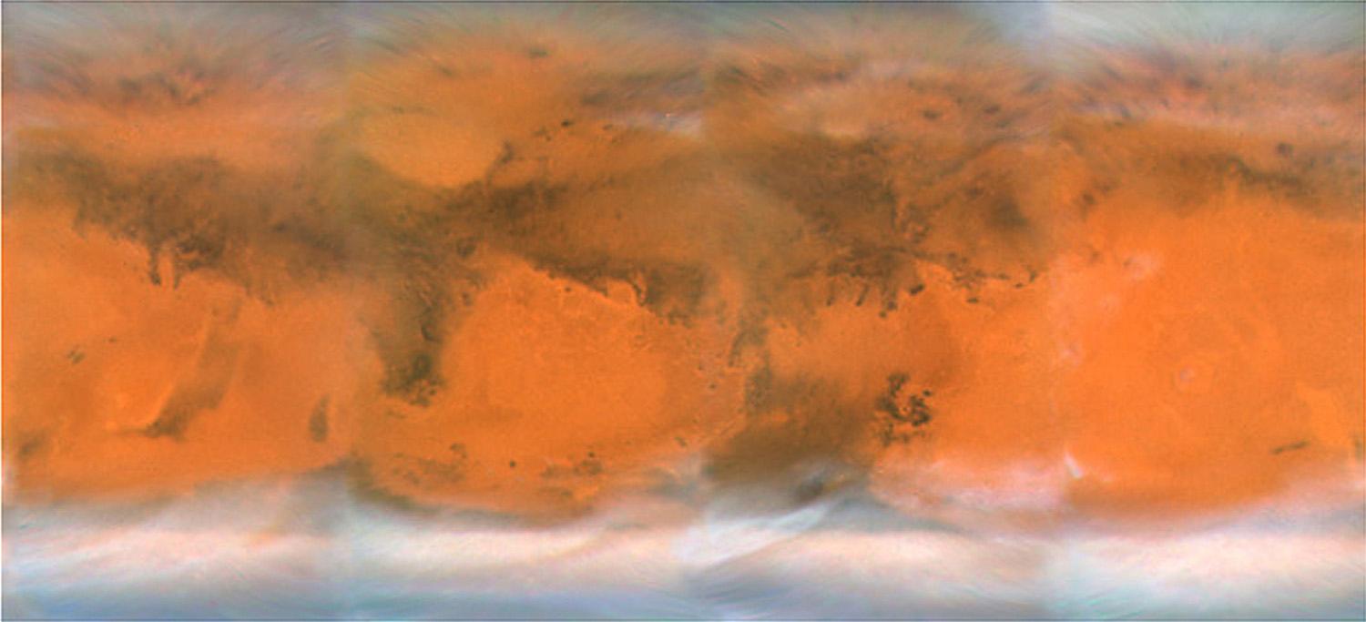
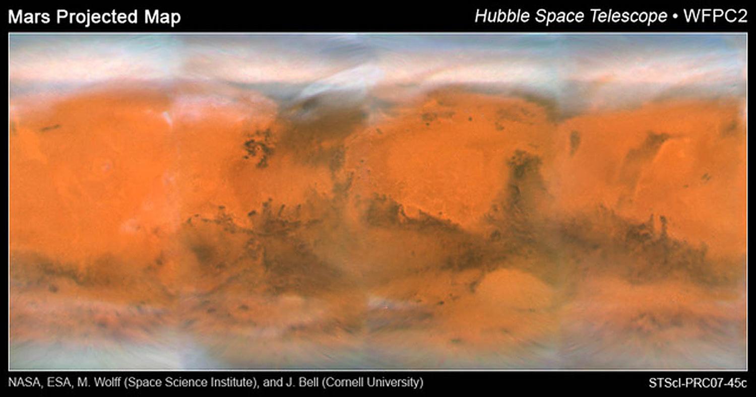
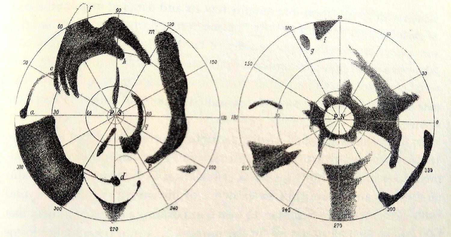
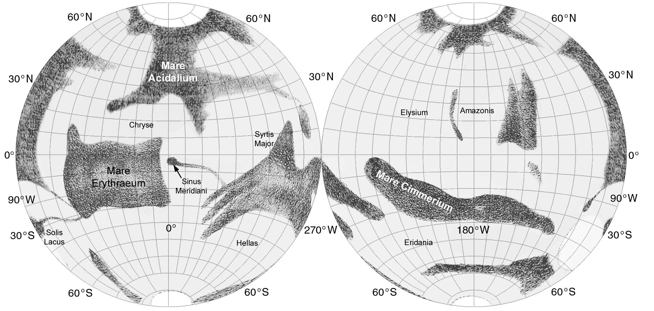
No - Schiaparelli saw Mars like this - with south at the top. Until the dawn of the space age most planetary maps were drawn with south at the top as seen in an inverting astronomical telescope. Only when maps might be used for direct physical exploration did the convention change to avoid potential confusion. Rather than turn our screens upside down, let's do a 'rotate 180 degrees' in Photoshop. Simples! #maps#Mars#Hubble

Content Warning

Now we need to look back in time to the classical understanding of the world. How better to do that than with Ptolemy's map of the world known to him at the time? None of Ptolemy's maps survived into the medieval world, but his list of places - a sort of gazetteer - did. 8000 places with his estimates of their latitude and longitude, from which his maps have been reconstructed. See the similarity? No, nor do I, but Schiaparelli found a way to link them. #maps#Mars#Ptolemy

Content Warning

I answered my first map question in a separate post. Back to Herschel: his map has no coordinates but coordinates can be approximated. I projected the Herschel map into a cylindrical projection and then into two equator-centred azimuthal projections making the best match I could to modern coordinates. My intention was to take a variety of historical and recent maps in different projections and display them all in a common format for comparison. #maps#Mars#Herschel

Content Warning

Here is Herschel's actual map (left). I compare it with a mid-20th Century map in the same projection (azimuthal, extending from the south pole at centre to the mid-latitudes in the northern hemisphere). There's no coordinate grid but it vaguely resembles the more modern map. It's the first map of Mars, but not the first map of another planet. Anyone care to speculate who made the first map of another planet, and which one? #maps#Mars#Herschel

Content Warning

The next stop on our history of Mars mapping is the German astronomers Beer and M盲dler. Working in the 1830s and 40s, they took Mars maps a significant step further, establishing a coordinate system and a prime meridian which is essentially what we use today. Here is the map made from observations in 1830 (published 1831) when the southern hemisphere was visible (as for Herschel). The south pole in in the middle, 30 north at the outer edge. #maps#Mars#Beer#M盲dler

Content Warning

This map is what you get if you transform the Beer and M盲dler map into the same projection I used for Herschel a few posts ago. Both polar azimuthal maps were transformed to cylindrical and combined to give global coverage (taking the opportunity to fix that pesky mistake), then transformed again to an equator-centred azimuthal equidistant projection. Now it gets a bit easier to compare with modern maps. #maps#Mars#Beer#M盲dler

Content Warning

Do these features match things we see today? (a faithful reader asks). Yes, and here are a few names - the traditional telescopic feature names like Meridiani Sinus (Sinus = Bay), not the modern topographic names like Meridiani Planum (Planum = plateau), though they are obviously related. And Meridiani refers to the dark spot Beer and M盲dler chose to mark the prime meridian.

These maps are from my first Mars atlas. I won't show every historic Mars map, just a few interesting ones. #maps #mars

Content Warning

Here is a modern (i.e. Cassini) map of Rhea with feature names:

https://asc-planetarynames-data.s3.us-west-2.amazonaws.com/rhea_comp.pdf

If you want to explore all such solar system names, go here:

https://planetarynames.wr.usgs.gov/

Use the menu bar underneath the banner image to explore names on maps of many worlds. You will notice asteroids are included. But interestingly, for some reason, not comets. I don't know why not. Even Rosetta's amazing comet 67P, which did get names in publications, never got official status for them. #maps #planets